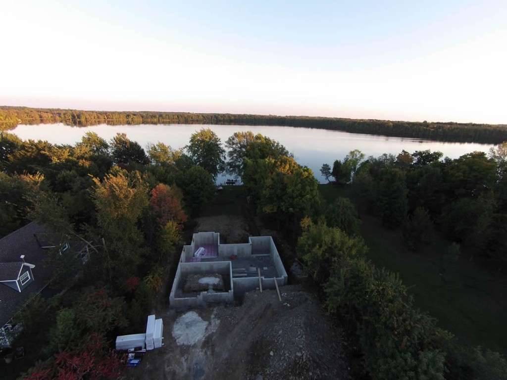
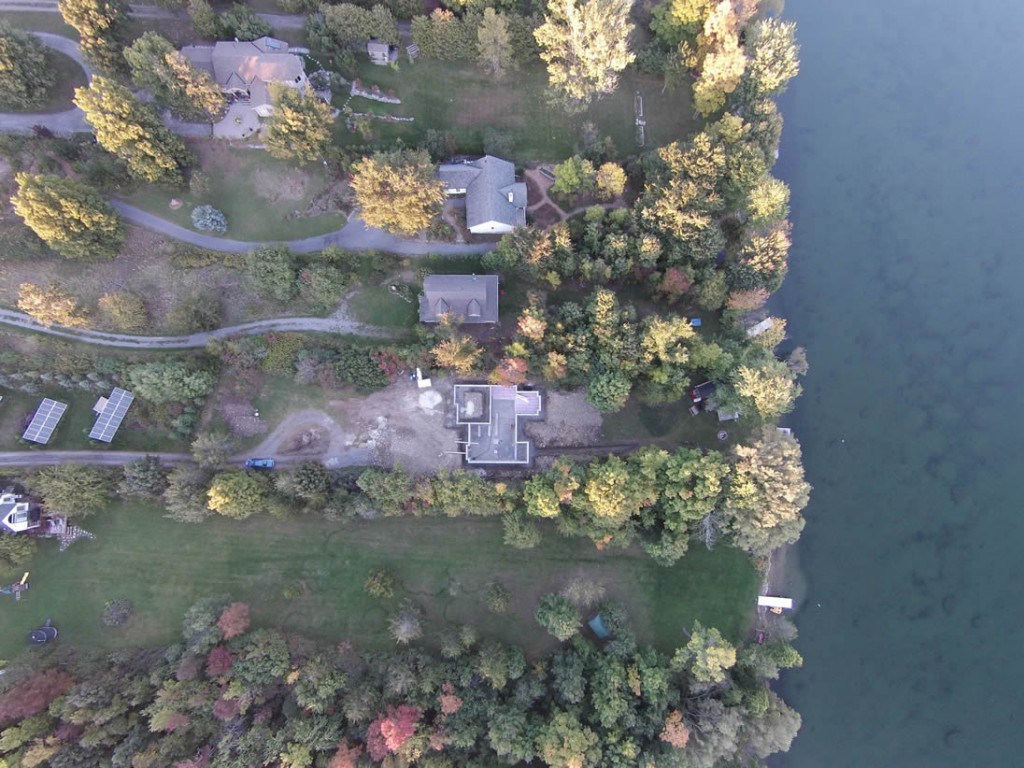
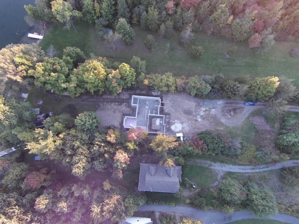
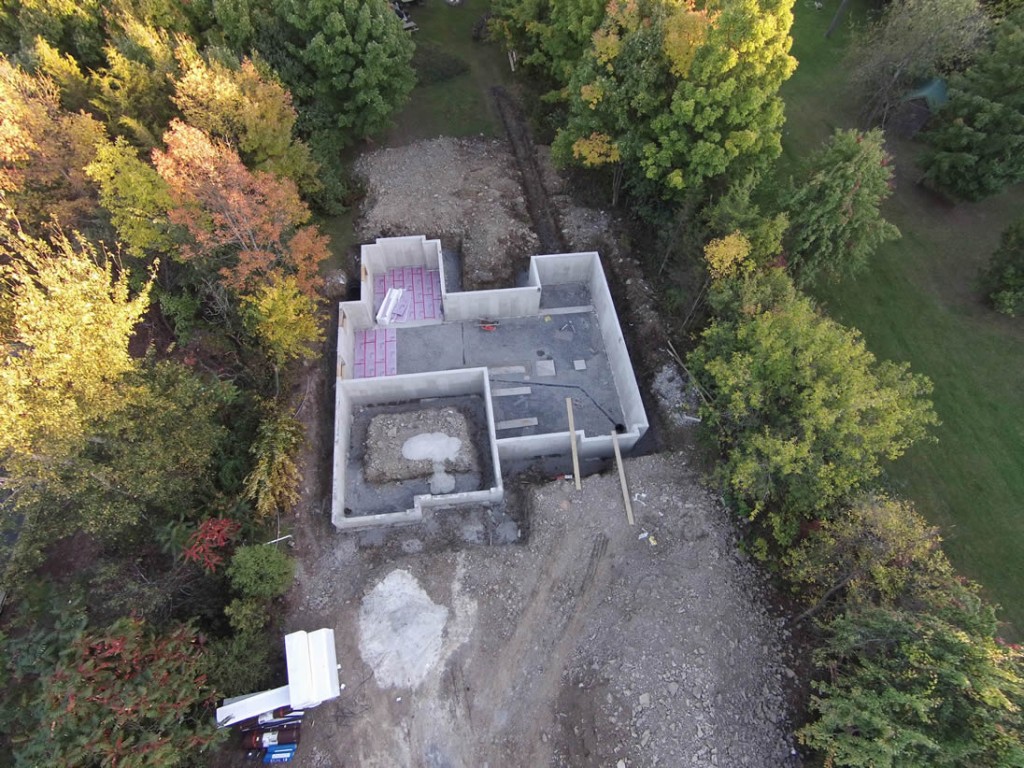
Land Surveying

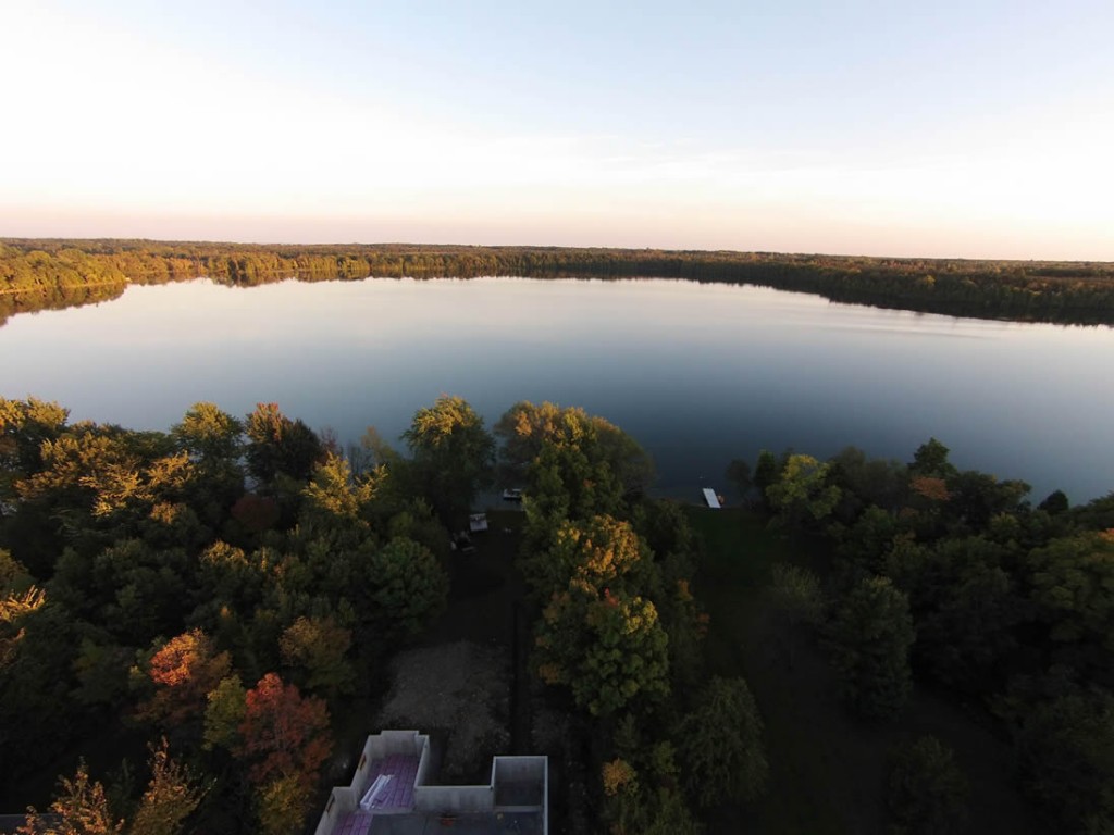
More and more land surveys have started using drones to map properties faster and to collect data on locations that can be difficult to access.
Aerial Photography for Land Surveys – We initially scan the area that has to be examined, which will be looked at in detail, and the most ideal flight plan will be designed using the drones in-built GPS where we can set coordinates and waypoints.
Once in the air, the UAV flies automatically along the programmed route and waypoints capturing HD video and allowing us to take the required photographs.